Introduction
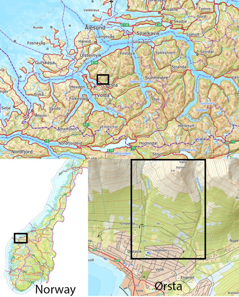
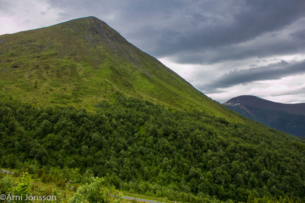
Vallabøen residential area Ørsta municipality, Western Norway is located below Vallahornet mountain. Almost every year relatively small avalanches are released from the mountainside above the town, but they have short runouts and usually stop at or above the tree line. Only three avalanches are known to have reached the residential area.
To the west of Vallahornet is Vikeskåla and the river Vikeelva. Slush-flows are registered in the river and some have reached far into today’s residential area.
The upper part of the residential area is located in the runout zone for large dry snow avalanches. It is mostly built with residential buildings but an elementary school and a kindergarten are also located in the runout zone.
A hazard assessment was prepared by NGI in 2011 and preliminary design of mitigation measures was prepared in 2015, also by NGI. One of the main challenges during preliminary design was how to construct a mitigation measure for dry snow avalanches and slush-flow in Vikeelva river all in the same construction.

Criteria for design
Ørsta municipality planned to protect the school and the residential area at Vallabøen to the highest safety class or S3 (1/5000 annual probability) for the school and S2 (1/1000) for residential buildings.
The governmental funding through The Norwegian Water Resources and Energy Directorate (NVE) is limited to existing buildings and to avalanche events that are considered to have annual probability of more than 3/1000. Due to financial constraints the municipality choose to down scale “full” mitigation measures to fit the 3/1000 criteria.
Dry avalanche velocities were calculated with RAMMS. Two setups were tested, one with standard SLF parameters and one with Coulomb type-friction µ = 0.25 and xi = 30000 m/s2; fracture depth= D 1.50 m and max erosion depth e = 0.5 m. Volume is approx. 105,000 m3. This is thought to represent annual probability of <1/1000.
No information was available for slush-flow velocities in Vikeelva river. Therefore, we looked at three different velocities 15, 20 and 25 m/s which we considered could be realistic. We choose 15 m/s for design speed and climbing height of flow plus flow height to be 8-10 m depending on the terrain at river and east of river.
Following parameters are used for the design:
Location
0-30m
70-340
440-500
Density
700
300
300
Velocity
15
14
7
C
2
2
2
Impact angle
30
90
90
Ref. dam height
8
13
9
Location/stationing is from the west bank of Vikeelva river to east (to right when looking from town to mountain). The location of slush-flow hitting the dam is approx. at 0-30m.

